创新赋能行业变革 前海再保险斩获"双鱼奖"三项大奖
上海证券交易所“科创智享汇”系列活动-前海专精特新专场成功举办
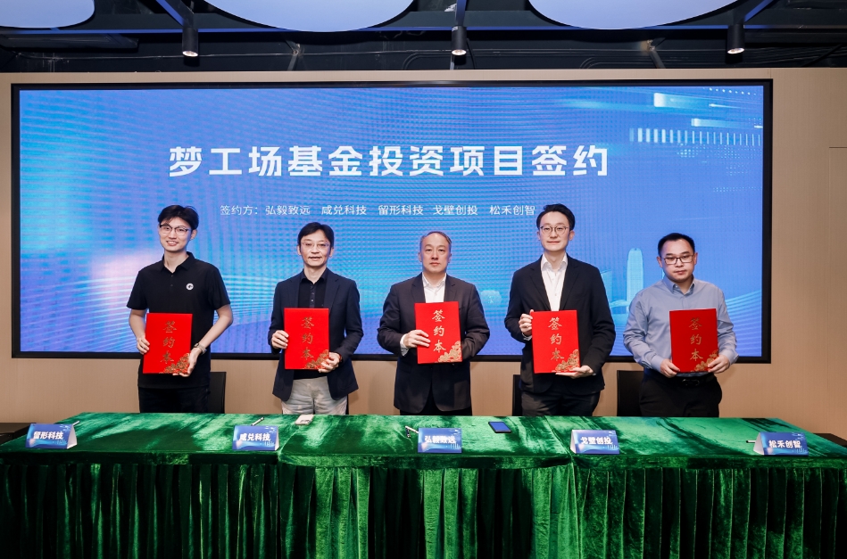
落地!前海深港青年梦工场基金首批项目签约
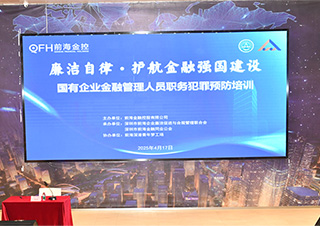
以廉洁自律促金融发展 前海金控公司举办廉洁教育活动
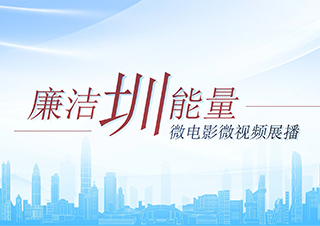
“廉洁圳能量”微电影微视频展播
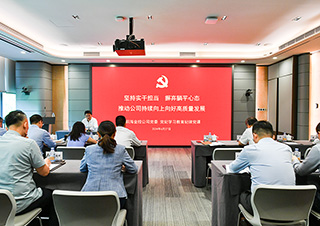
前海金控公司举办党纪学习教育专题党课